 |
 |
 |
|
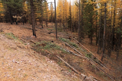
A fuel break... a line of cut trees to slow the
spread of fire along FR4361 as it appeared on 10/18/17.
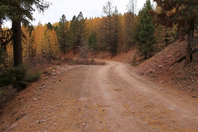
This area along the road did not burn. |
|
|
Looking west at an
unburned area along FR4361 as it appeared on 10/18/17. The
picture to the right shows what it looks like (burned) when you
turn the camera around. |
|
|
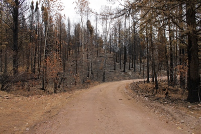
Looking east at a burned
area along FR4361 as it appeared on 10/18/17. The picture
to the left shows what it looks like (unburned) when you turn
the camera around. |
|
 |
 |
 |
|
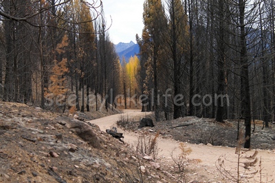
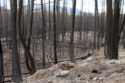
Looking east along FR4361
from a burned section towards an unburned group of Larch trees
in the distance on 10/18/17 |
|
|
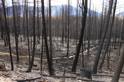
Looking east along FR4361
from a burned section towards Morrell mountain in the distance
on 10/18/17. The small creek in the center is most likely
a tributary to Seeley Creek to the south. |
|
|
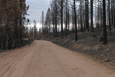
Looking southeast along
FR4361 from a burned section on 10/18/17. |
|
 |
 |
 |
|
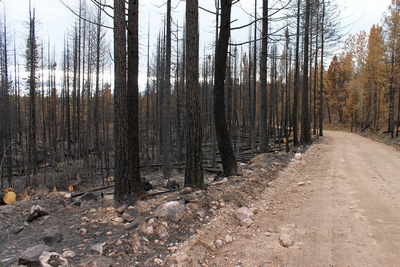
Looking west at a burned
area along FR4361 as it appeared on 10/18/17. |
|
|
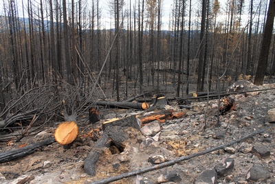
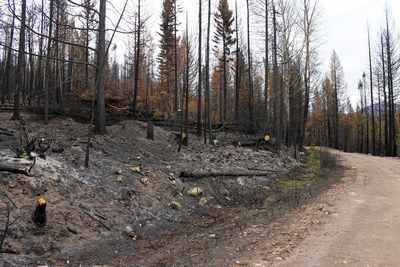
Looking southeast along
FR4361 at a burned section on 10/18/17. Trees were cut to
fall away from the road to slow the spread of the fire. |
|
|
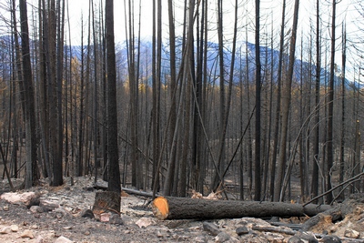
Looking west at a burned
area along FR4361 as it appeared on 10/18/17. |
|
 |
 |
 |
|
Looking east along FR4361
at a burned section on 10/18/17 |
|
|
Looking east along FR4361
at a burned section on 10/18/17. Trees were cut to fall
away from the road to slow the spread of the fire. |
|
|
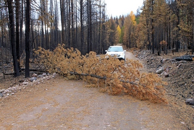
Looking west along FR4361
at a tree that had fallen across the road (probably on 10/17/17
with the high winds) blocking passage.
No chainsaw to be had this day. Picture taken on 10/18/17. |
|
|
Rice Ridge Fire page up to Aug 16th, 2017 |
←← Internal
Links: →→ |
|