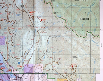
Overview Map - Click map image to ENLARGE
Map of trail system overview for Pyramid
Lake (Southeast of Pyramid Peak) Begin at Pyramid Pass Trailhead
(416)
Elevation: 7,290 Gain: 1790
feet
Length: 4 miles (one way)
Trail Begins: End of forest road 4381
Trail Ends: Pyramid Pass on Flathead Divide |
Pyramid Pass Trail 416
|
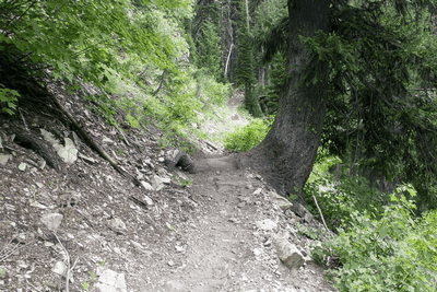
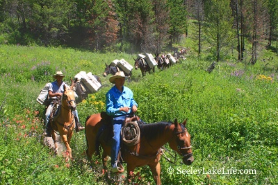
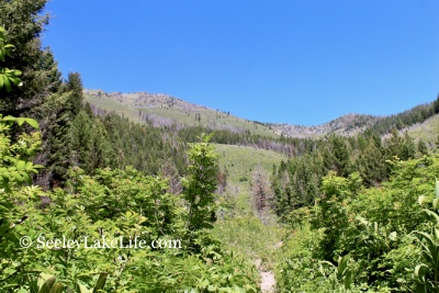
Pyramid Pass Trail #416 is a popular
mainline access route into the subalpine country and the Bob
Marshall Wilderness. Outfitters and recreation horse parties
frequent this trail thoughout the summer. Hikers are
reminded that stock animals are easily spooked when
approached in the backcountry.
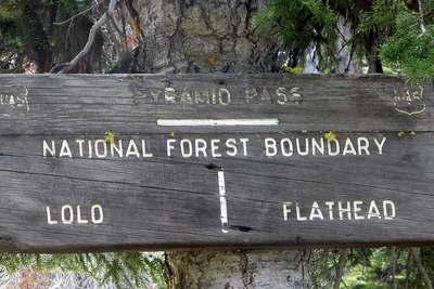
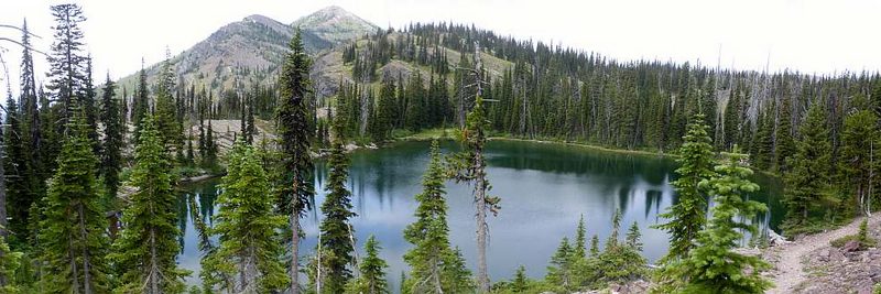
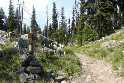
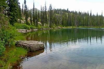
Pyramid Lake is located over the pass and within the
boundaries of the Bob Marshall Wilderness. This is a 10 acre
lake at 6927 ft. elevation. From the wilderness boundary
sign, stay on the main trail #416 for about 1/4 mile (you'll
be heading downhill) - a trail heading to the lake will be
on the North (left) and is not signed but well used and
easily visible. Continue on this side trail an additional
1/4 mile to Pyramid Lake.
Pyramid Peak, located northwest of the Pass, provides an
opportunity for the hiker who cannot resist a challenge.
There is no maintained trail to the summit of Pyramid Peak.
Hikers attempting this climb should be equipped with a
topographic map and compass, and be prepared for a steep,
rocky scramble.
Click on pictures to ENLARGE |
|
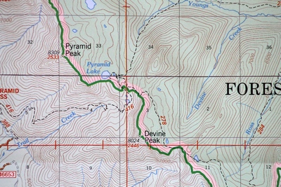
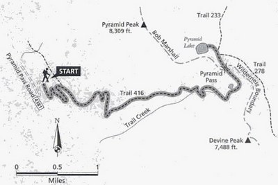
Close-up Map - Click map image to ENLARGE
Close-up map showing location of the Pyramid Pass Trail south of Pyramid Lake.
The Pyramid Pass Trail (416) and the Blackfoot Divide Trail
(278) intersect east of Pyramid Lake
Area Map: Lolo National Forest Visitors Map
Phone: 406-677-2233
USGS Map1: Morrell Lake & Crimson Peak
USGS Map2: Morrell Mountain
Township 17N; Range 14W; Section 3
Website:
https://www.fs.fed.us/r1/lolo/
Lolo National Forest, 3583 Highway 83,
Seeley Lake, MT 59868 |
 |
 |
 |
|
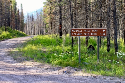
Sign at the junction of FR4353 and FR4381 near the
Morrell creek bridge. |
|
|
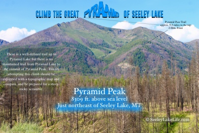
Climb the Great Pyramid of
Seeley Lake! Pyramid Peak is 8309 feet above sea level and
located just northeast of Seeley Lake, MT. |
|
|
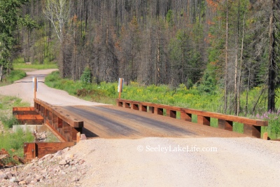
Looking west across the rebuilt wooden bridge
crossing Morrell creek north of Seeley Lake, Montana on FR 4381
near Morrell Falls trailhead and Pyramid Pass trailhead. Date:
7/16/19. This is now open to traffic. |
|
 |
 |
 |
 |
 |
 |
|
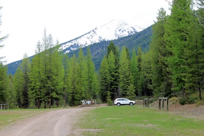
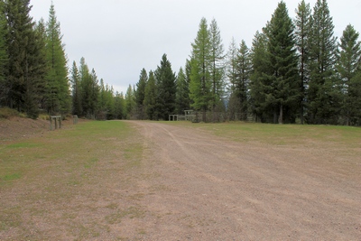
Pyramid Pass Trailhead (416) Parking Lot and horse corral
looking south |
|
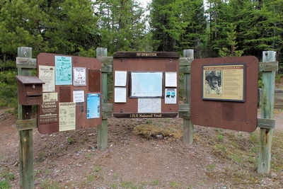
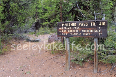
Pyramid Pass Trail (416)
Sign at the beginning of the trail as it appeared on May 16,
2017 |
|
|
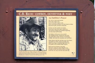
C.B. Rich - Cowboy, Outfitter and Poet Sign at the Pyramid Pass
Trailhead |
|
 |
 |
 |
|
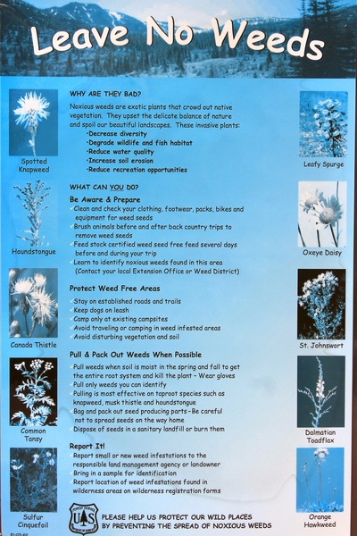
"Leave No Weeds" Sign at the Pyramid Pass Trailhead |
|
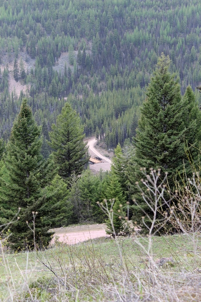
Road 4381 to the Pyramid Pass Trailhead (416) looking down at the new
uncompleted bridge crossing Morrell Creek on May 16, 2017.
The Rice Ridge fire has burned the forest in this area and
the bridge sustained heavy damage and will require
rebuilding. |
|
|
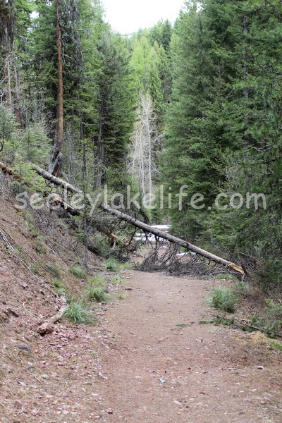
Pyramid pass trail (416) blocked by fallen trees and snow beyond on
May16, 2017. This area has since burned up in the Rice
Ridge fire. |
|
 |
 |
 |
 |
 |
 |
 |
 |
LINKS to articles about Pyramid PassThe
Missoulian
Pyramid Lake: A good first taste of Bob Marshall Wilderness
MT-Adventures
|
 |
 |
|
|
|
|