 |

click here for Coloma
Ghost Town location on Google Maps
Coloma, MT, also known as the "Mystery Camp", is a ghost
town a few miles north of the better known Garnet
Ghost Town in the area of the Garnet Range in Missoula
County, Montana. Coloma and several
other mining camps, including Reynolds City, Springtown, and
Yreka got their starts in 1865 when prospectors found gold
in Bear Gulch and Elk Creek. This started one of the last
large Montana gold rushes. Within weeks, 6,000 people
moved into the Garnet Mountain mining districts. The
settlement of Coloma, was the largest next to Garnet, which
would be developed later.
After lode deposits at Coloma were discovered in 1897, the
area would really begin to boom and was most active at the
turn of the century. Eventually, the Coloma area had two mills
(10 & 20 stamps) which crushed the ore that was then hauled out
to Helena, Butte, or Anaconda to be treated.
The largest of the Coloma lodes was the Mammoth Mine, which
was developed beginning in 1896 and would yield about
$200,000 of gold in the next two decades. Other mines,
including the Comet, Dixie, Clemantha, Cato, and several others were also operating in the early 20th century;
however, most were not profitable as much of the gold was
lost in the tailings.
Though mining efforts continued as late as
the 1950s, Coloma had all but died by 1918. Other mining
camps in the area, including Reynolds city, Springtown, and
Yreka had very short lives, lasting only a couple of years.
All in all, the district produced only about $250,000 in
gold, silver, lead, and zinc. Today, there is little left
but a few cabins and mining remains. There are still mining shafts, ventilation systems, pumping
machines and remains of narrow-gauge railroad tracks present
at the site. More than the old relics, the main
attraction at Coloma is the million dollar view of the
Blackfoot Valley and the Swan Mountain Range. |
|
 |
|
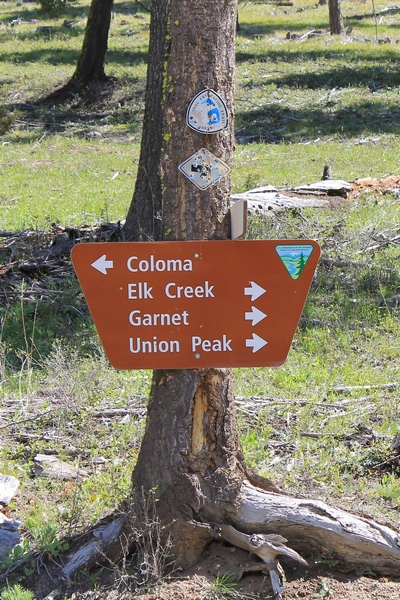
Sign posted to a tree pointing the way to Coloma (ghost town) in the Garnet range
of western Montana |
Some text above is from the book "Montana
Mining Ghost Towns"
© 2002 Farcountry Press ISBN: 1-56037-195-1
click for more historical context from montana.gov |
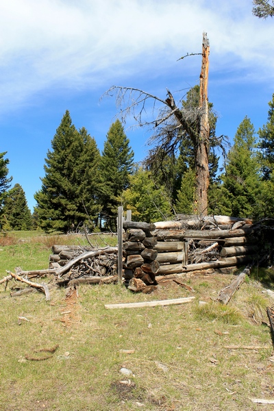
First of several structures seen upon entering
Coloma |
From
Missoula, drive about 9 miles east on Interstate 90, take
MT-200 E to Garnet Range Rd 30 min (28.6 mi) and follow
Garnet Range Rd to your destination 18 min (7.3 mi) Coloma,
MT
|
Pictures taken 5/22/17
all photos by Andy Christen
click on the images to enlarge |
Open year-round, however access is limited in the winter.
Wheeled vehicles are allowed on the road
from May 1 - January 1, depending on snow conditions. |
 |
 |
 |
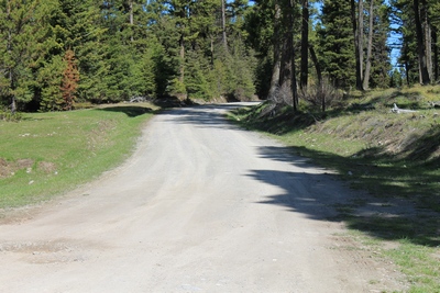
Road (from the road sign posted on a tree)
leading to
Coloma ghost town in the Garnet range in western Montana |
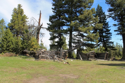
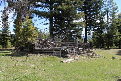
First of several structures seen upon entering
Coloma (ghost town) Montana |
First of several structures seen upon entering
Coloma (ghost town) Montana |
 |
 |
 |
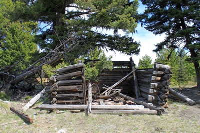
Second of several collapsed cabins seen upon
entering
Coloma (ghost town) Montana |
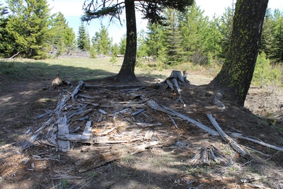
Almost nothing left of this miner's cabin seen
upon entering Coloma (ghost town) Montana |
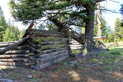
One of several collapsed cabins seen upon
entering
Coloma (ghost town) Montana |
 |
 |
 |
|
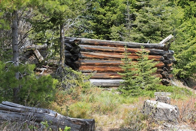
Collapsed miner's cabin on a side road in Coloma
(ghost town) |
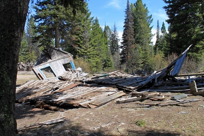
Collapsed building near the main part of Coloma
(ghost town) |
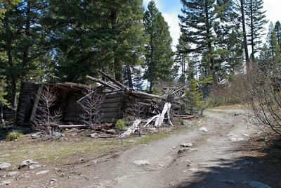
Very rough road to the main part of Coloma (ghost
town)
with a collapsed cabin on the left. |
 |
 |
 |
|
Collapsed miner's cabin on a side road in Coloma
(ghost town) |
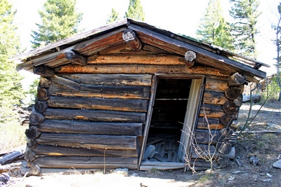
The only cabin I saw in Coloma that has not yet
collapsed.
There is also an old rusted barrel type wood stove inside. |
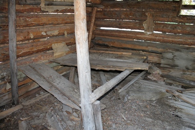
Inside the only cabin (shown left) in
Coloma that has not yet collapsed. Old newspapers can be
seen lining the underside of the roof. |
 |
 |
 |
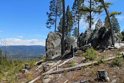
Scenic 'Stonehenge' type rock formation seen
above Coloma
(ghost town) in the Garnet mountains of Montana. |
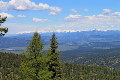
View of the Swan Range from the
'Stonehenge' type rock formation seen above Coloma (ghost town)
in the Garnet mountains of Montana. |
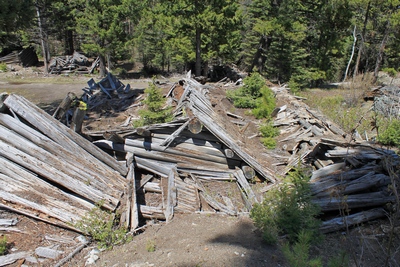
Collapsed structure in the main part of Coloma
(ghost town) |
 |
 |
 |
|
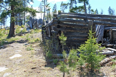
Scenic 'Stonehenge' type rock formation (upper
left) seen above Coloma (ghost town) in the Garnet mountains of
Montana. Collapsed cabin in foreground. |
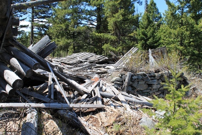
Completely collapsed cabin with lower stone wall
in Coloma (ghost town) Montana |
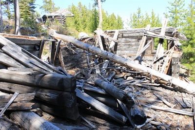
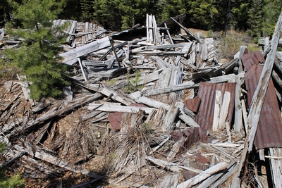
Completely collapsed structure (or is it 2 or 3
structures?) in the
main part of Coloma (ghost town) Montana |
 |
 |
 |
|
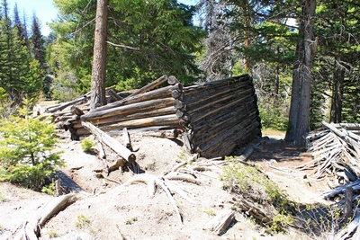
One of the collapsed cabins in the main section
of Coloma (ghost town). The foundation on the left side
seems to have been eroded by running water causing subsiding on that side of the structure. |
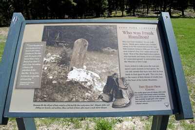
Who was Frank Hamilton? No one really
knows. Sign at Sand Park Cemetery not far from Coloma
(ghost town) where some of the poorer miners appear to have been
buried. |
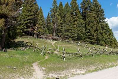
Simple wooden grave markers in the back corner of
the fenced-in area
pay a humble tribute to the five miners buried at the Sand Park
Cemetery (shown above) between 1898 and 1914. |