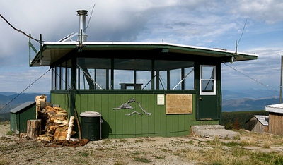
This picture of Union Peak Lookout was
found on google images.
Union Peak Lookout in the Garnet range of
western Montana. |
Union Peak (6,821
ft.)
in the Garnet Range, Granite
County Montana
The Blackfoot Forest Protective
established Union Peak Lookout as a crow’s nest tree
platform in 1930. Five years later it was replaced by a
70’ steel tower. In 1963 the present 15’x15’ groundhouse
with slightly sloped gable-flattop roof., a unique BFP
design, was constructed and seasonally remains in service. In 1973
the Montana Dept. of Natural Resources and Conservation
assumed responsibility for the lookout.
Union Peak and the surrounding land is now
privately owned having been sold by Stimson Timberland Sales
however the new owner says that he is not barring anyone from
visiting the peak.
From
Missoula, drive about 9 miles east on Interstate 90, take
MT-200 E to Garnet Range Rd 30 min (28.6 mi). At
milepost 22, Take Garnet Range Rd. & follow the signs to
Union Peak. Garnet Range Rd. is a seasonal road and
not maintained in winter. |
|
 |
|
Click
here for Union Peak location on Google Maps
click on the images to ENLARGE |
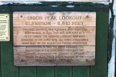
Information plaque on Union Peak lookout
Photo 5/27/17 by Andy Christen |
 |
 |
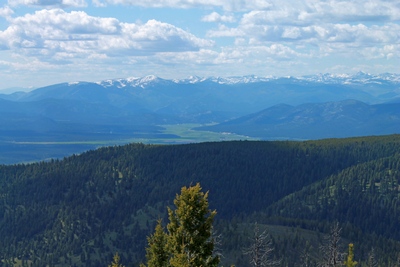 |
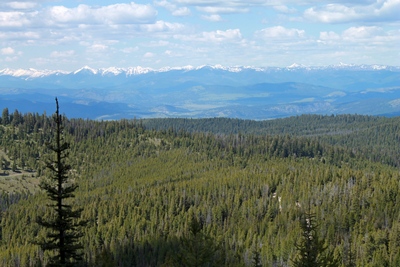
View from the top of Union Peak (in the
Garnet range in western Montana) looking north-northeast to the
Swan Mountain Range in the distance.
Photo 5/27/17 by Andy Christen |
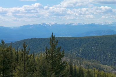
View from the top of Union Peak looking
west to the Rattlesnake Mountains and McLeod Peak (8,620 ft.) in the distance.
Photo 5/27/17 by Andy Christen |
View from the top of Union Peak, Montana looking
west to the Potomac Valley, and the Rattlesnake Mountains with
McLeod Peak (8,620 ft.) in the distance.
Photo 5/27/17 by Andy Christen |