 |
|

includes
Johnsrud Park, Thibodeau Campground & Rapids, Whitaker Bridge,
Corricks River Bend, in Missoula
County
click here for
Blackfoot River Recreation Corridor location on Google Maps
Follow in Lewis and Clark's
footsteps on the Blackfoot River
The following text is from montana.gov:
Located in the west-central part of the
state and famously known as the centerpiece of Norman
Maclean’s novel “A River Runs Through It,” The Blackfoot
River is one of Montana’s most popular rivers for
recreation. The river’s outstanding natural resources,
incredible scenery, and multitude of recreational
opportunities all contribute to its popularity. Fishing,
whitewater boating, recreational floating, innertubing,
camping, swimming, or just simply relaxing are some of the
activities that can be enjoyed on the Blackfoot.
The Blackfoot River Recreation Corridor, which stretches 26
miles from Russell Gates FAS to Johnsrud Park FAS, was
established through a cooperative agreement between private
landowners and public agencies. This agreement provides for
public access within the Corridor, on private land up to 50
feet above the high water mark, unless otherwise posted. The
agreement also establishes specific regulations applicable
to the Blackfoot River Recreation Corridor that govern
recreational use.
|
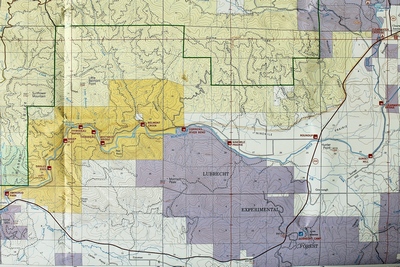
Map of the Blackfoot River
Recreation Corridor north of MT Rt. 200 and northeast of
Missoula. |
Whether planning a float, looking for a
float-in campsite, brushing up on river ethics and
etiquette, or checking for updates in Blackfoot River
recreation management you’ll find the information here.
Consult the Frequently Asked Questions (FAQ) page to get an
overview of the Blackfoot and remember to check for
Advisories, Restrictions, and Closures. If you don’t find
all the answers you’re looking for, you can contact the
Fish, Wildlife & Parks Office in Missoula at (406) 542-5500.
http://fwp.mt.gov/recreation/activities/boating/blackfoot/
Links:
Missoulian 4/11/15:
Blackfoot River corridor management plan up for review
Missoulian 12/26/16:
Land deal expands the Blackfoot recreation corridor
Big Sky Fishing.com:
The Blackfoot River Corridor Scenic Drive
Missoulian 8/6/17:
Wilderness friends seek help for Blackfoot
|
|
 |
|
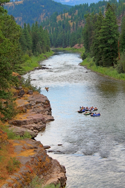
Young man jumps from a
rocky ledge into the Blackfoot River near Sheep Flats to
join his buddies floating past.
Click for a larger image. |
|
Click MAP above for a LARGER IMAGE. Pictures taken
7/28/17
all photos by Andy Christen
Click on the images to enlarge |
|
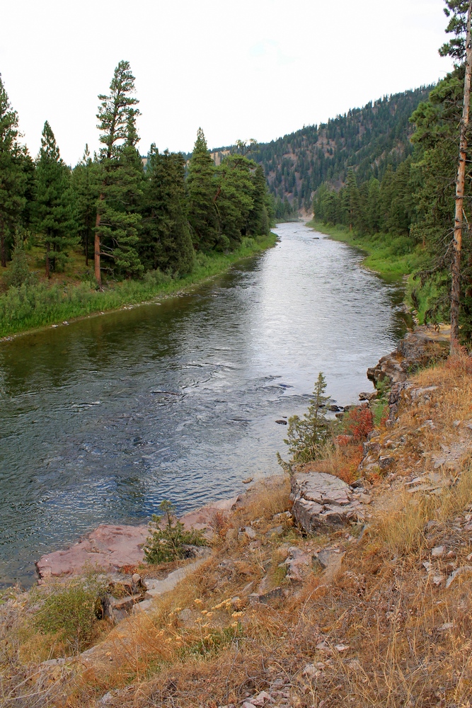
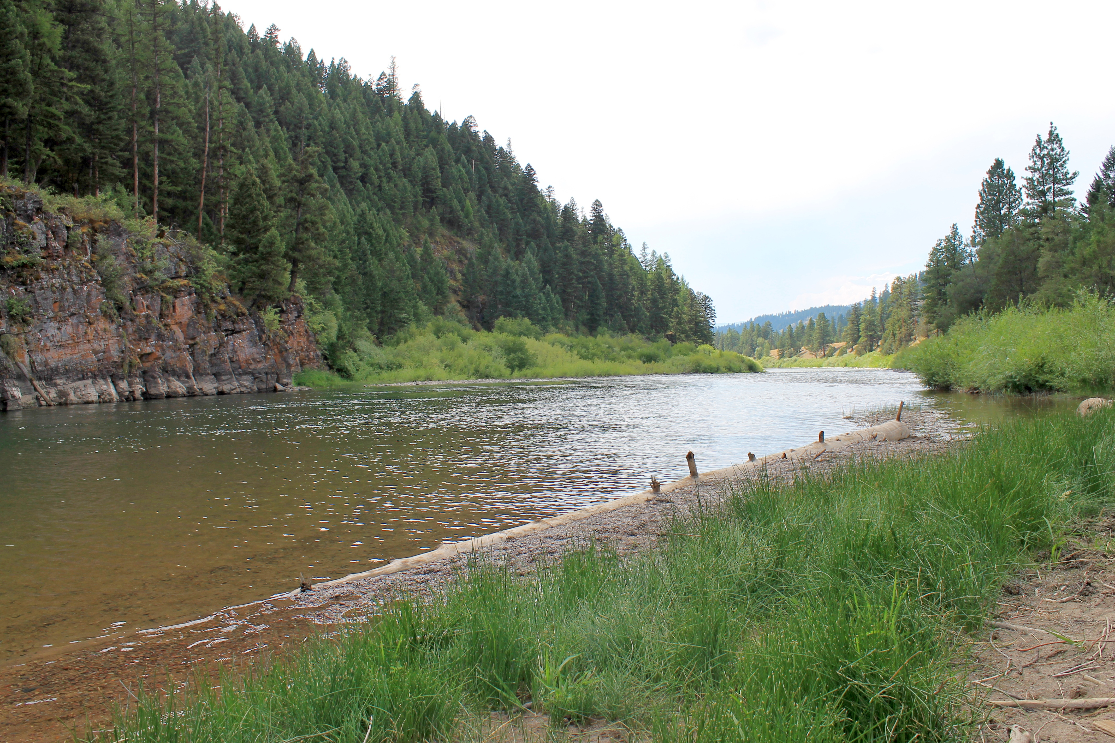
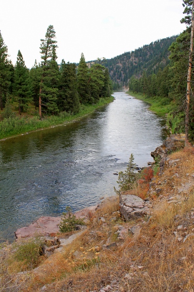
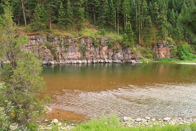
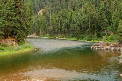
Looking upstream at Blackfoot
River near Sheep Flats from the south side. |
|
|
|
|
|
 |
 |
 |
 |
|
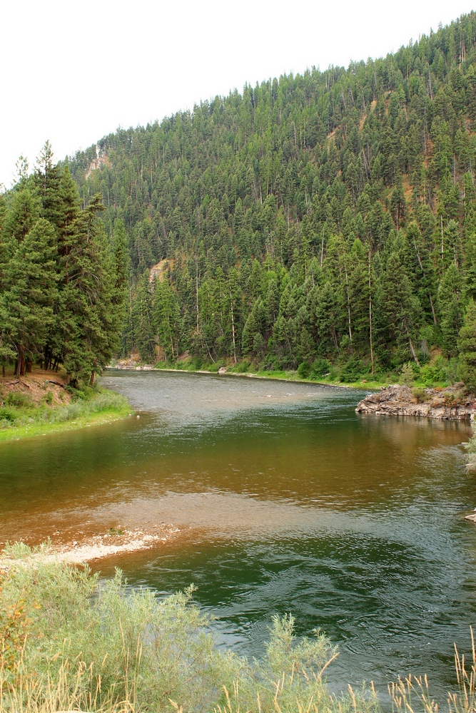
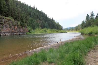
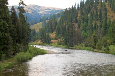
Blackfoot River flowing
away from the viewer at Corrick's River Bend entrance road
looking south. |
|
|
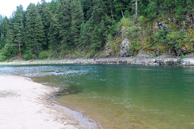
Blackfoot River beach at
Corrick's River Bend looking southeast |
|
|
Blackfoot River beach area
at Corrick's River Bend looking south. |
|
|
Blackfoot River beach area
at Corrick's River Bend looking southwest. |
|
 |
 |
 |
 |
|
Across the Blackfoot River
beach area at Corrick's River Bend looking south, there is a
tree with a long rope apparently used by some to swing out
and drop into the river. |
|
|
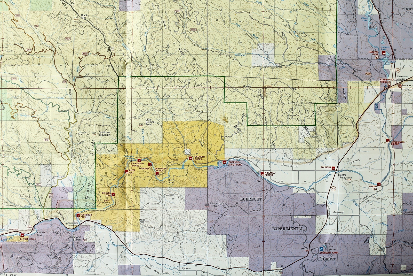
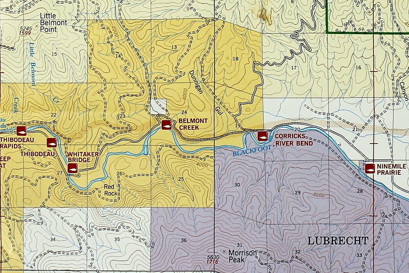
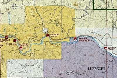
Close up map showing the
Blackfoot River Recreation Corridor |
|
|
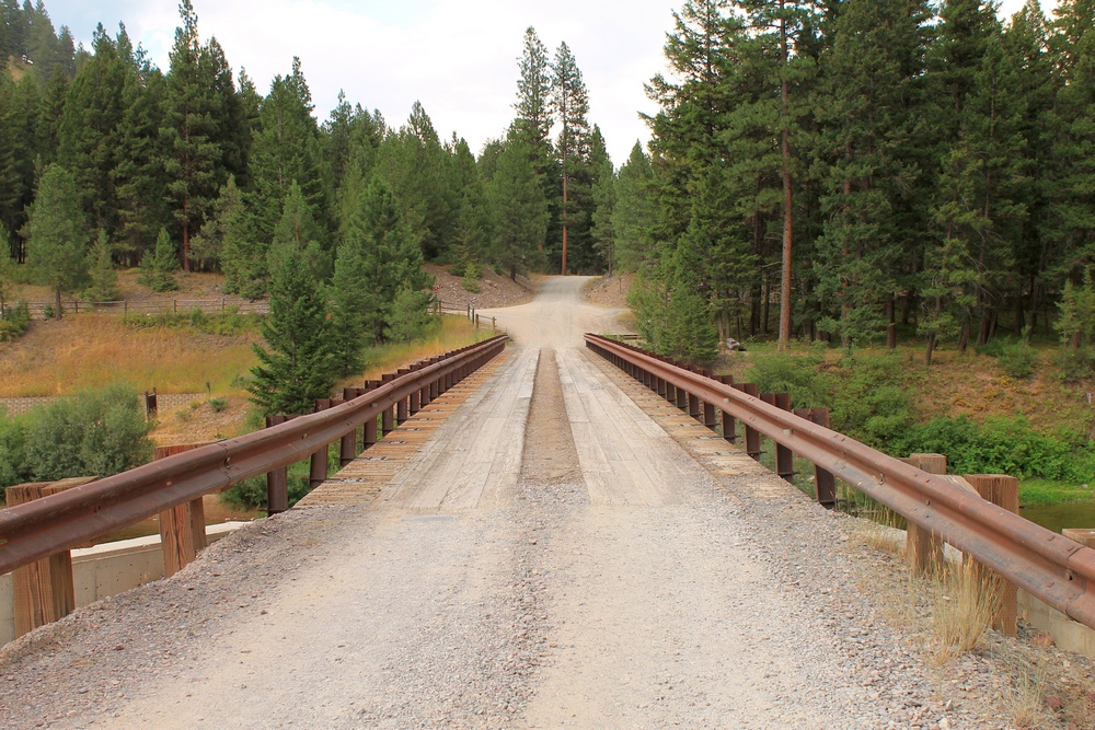
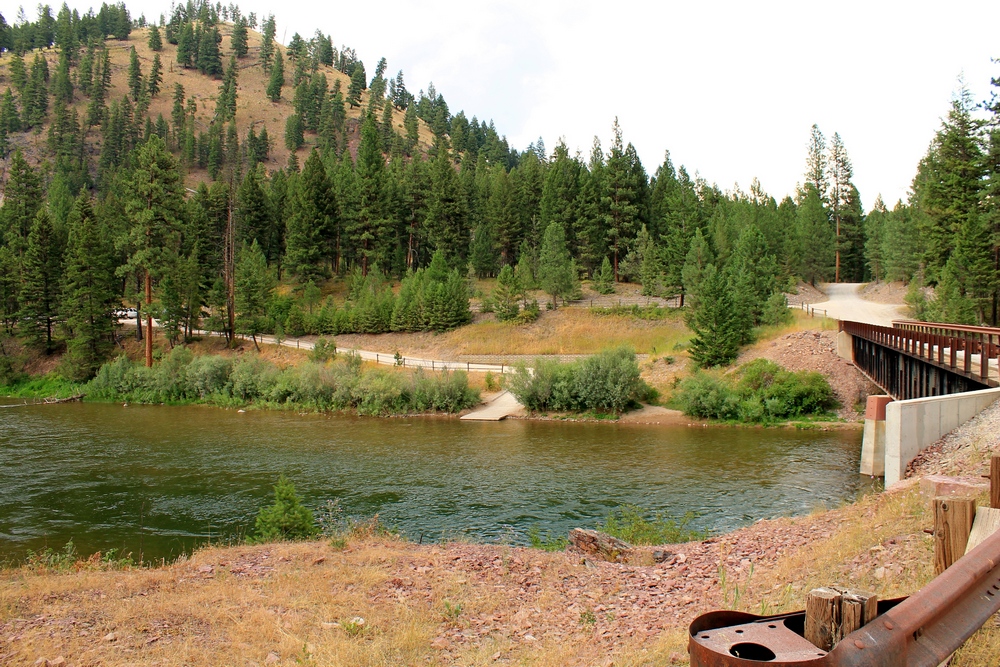
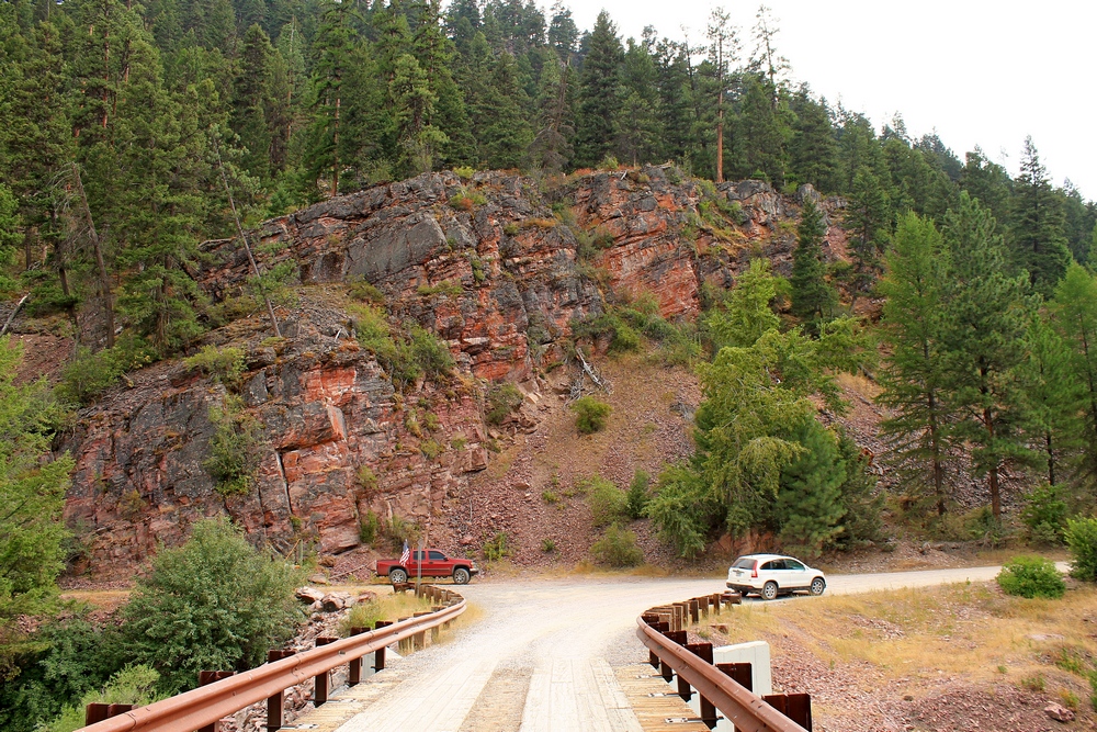
Whitaker Bridge crossing
the Blackfoot River |
|
|
View looking north across
the Blackfoot River at the downstream side of the Whitaker
Bridge on 7/28/17. |
|
 |
 |
 |
 |
|
View of the Blackfoot River
looking downstream from the Whitaker Bridge on
7/28/17. |
|
|
View looking westerly,
downstream of the Blackfoot River from the Whitaker Bridge
on 7/28/17. |
|
|
View of the Blackfoot River
looking easterly, upstream from the Whitaker Bridge on
7/28/17. |
|
|
Looking south across the
Whitaker Bridge on 7/28/17. The Blackfoot River flows
westerly below. |
|
 |
 |
 |
 |
|
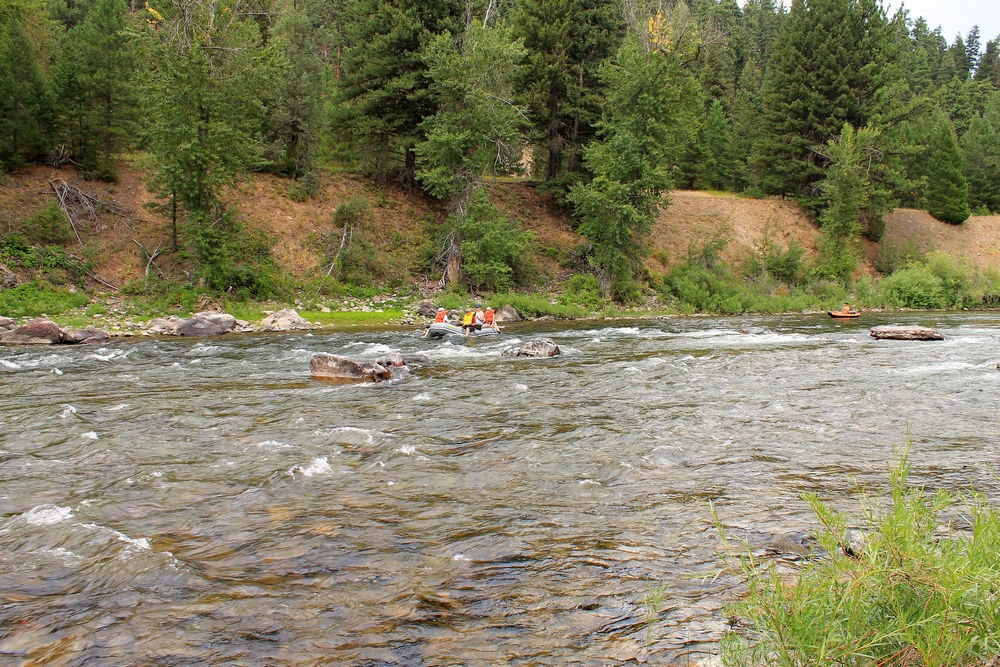
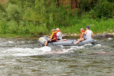
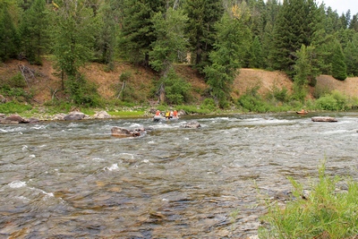
Seniors on an inflatable
raft entering the Thibodeau rapids on 7/28/17 |
|
|
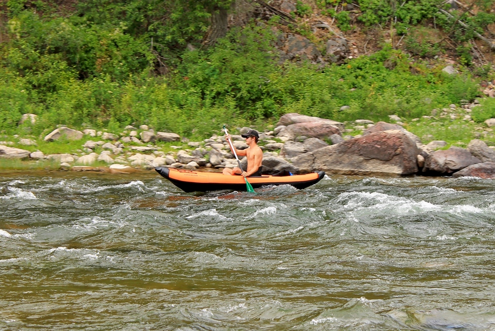
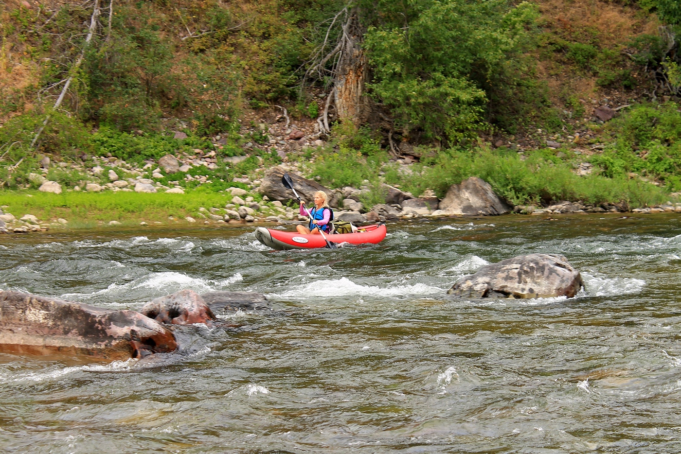
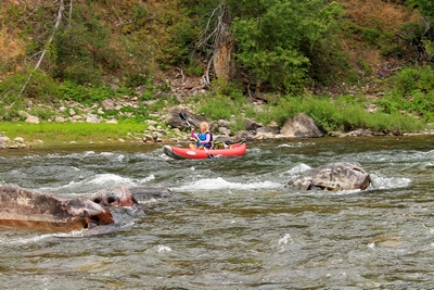
Kayaking the Blackfoot
River at the beginning of Thibodeau Rapids |
|
|
Kayaking the Blackfoot
River at the beginning of Thibodeau Rapids |
|
|
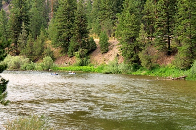
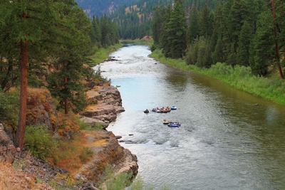
Floaters entering the Thibodeau rapids. |
|
 |
 |
 |
 |
|
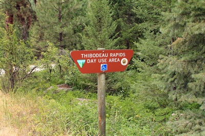
Sign at Thibodeau Rapids
with Blackfoot river access |
|
|
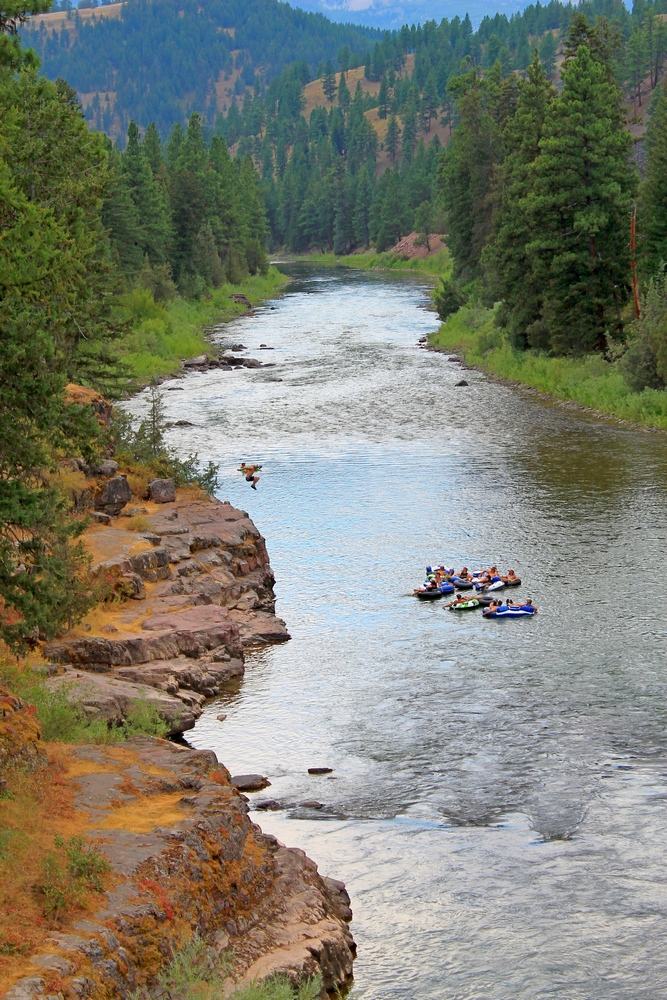
Young man gets ready to
jump from a rocky ledge into the Blackfoot River near Sheep
Flats to join his buddies floating past.
Click for a larger image. |
|
|
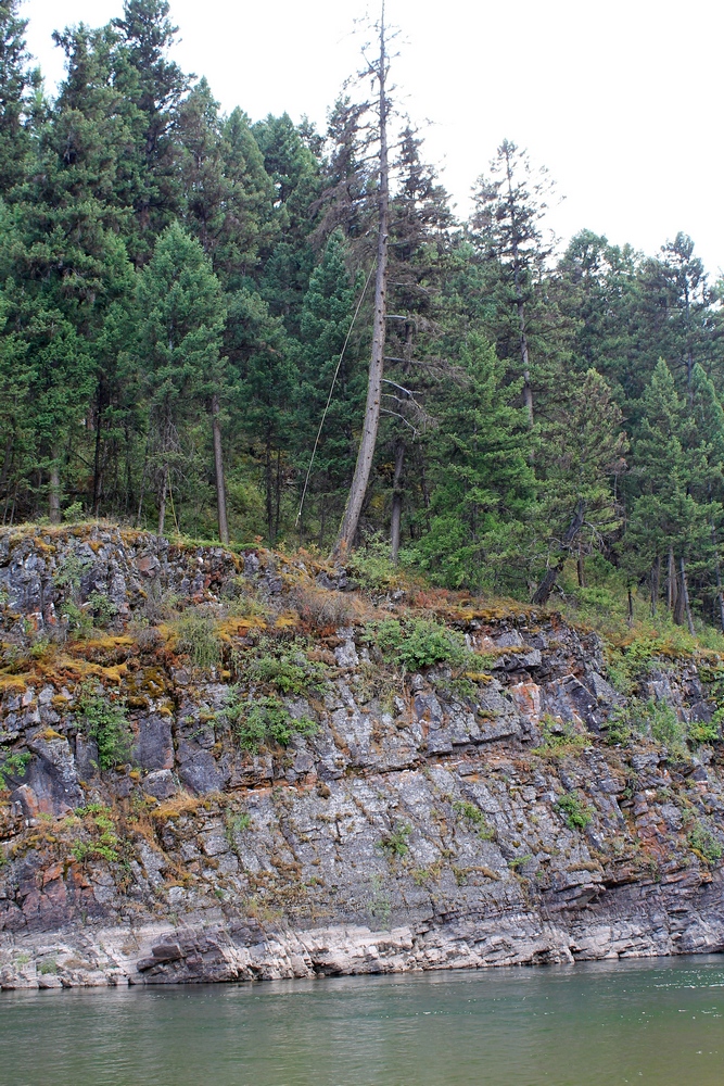
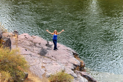
Standing on a rocky ledge
by the Blackfoot River near Sheep Flats. |
|
|
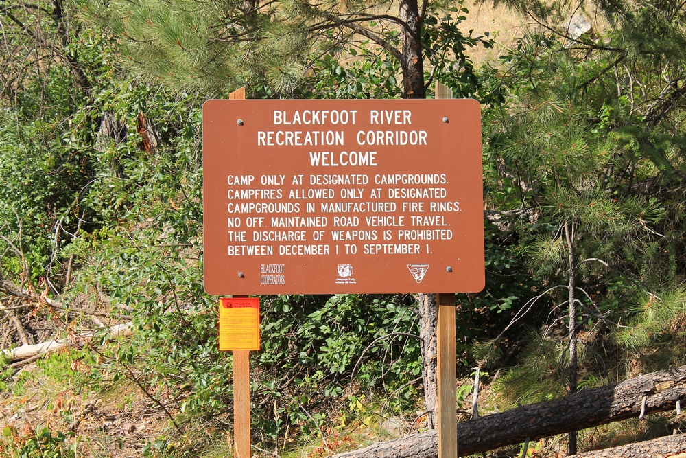
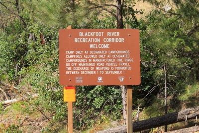
Blackfoot River Recreation
Corridor sign at Johnsrud Park |
|