SeeleyLakeLife.com Logo


Home Seeley Lake
Bulletin Board
Seeley Lake
Business Listings
Missoula
Businesses
Seeley Lake
Garage Sales
Seeley Lake
in Pictures
About Me
Local Weather Rice Ridge Fire
Aftermath Menu
What are you
waiting for?
Trails System Points of Interest Area Wildflowers Contact:  

Trail information sign - seeleylakelife.com

And into the forest I go, to lose my mind and find my soul

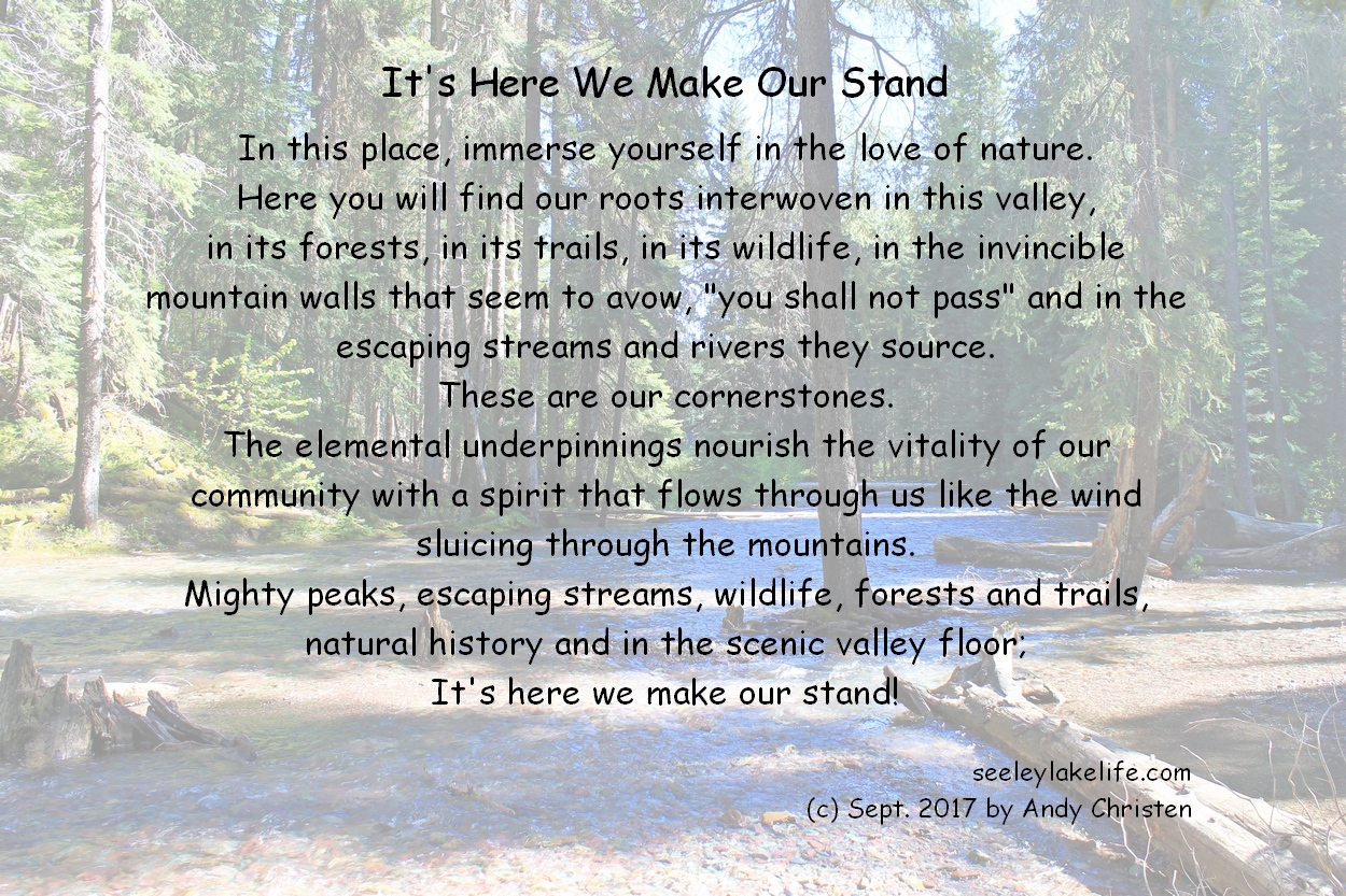
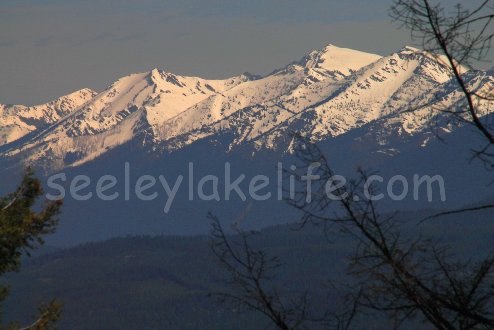
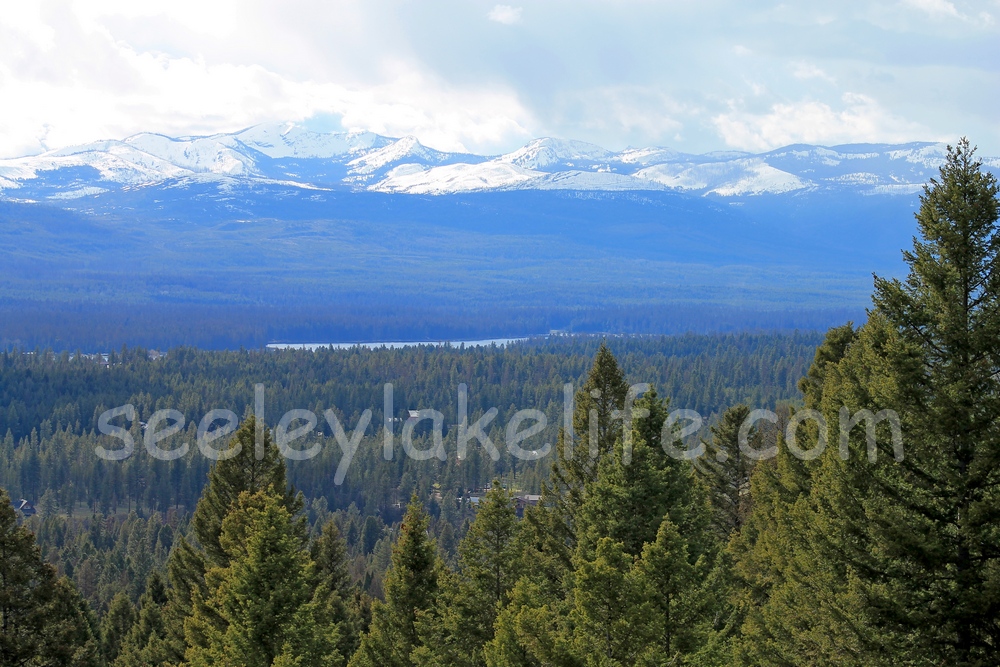
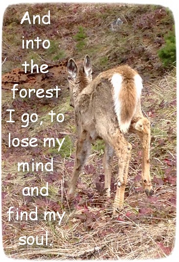
Click on pictures below to enlarge


Seeley Lake Area Recreation Map link
Lolo Nat'l Forest website link

All Trails

Trails in the Bob Marshall Wilderness (includes 2 National Forests: Flathead & Lewis & Clark)
Trails in the Scapegoat Wilderness
(includes 2 National Forests: Helena and Lewis & Clark)
Trails in Powell County
Trails in Missoula County
Trails in the Lolo National Forest
Trails in the Flathead National Forest
Trails in Groves, Campgrounds or Lake Areas
Snowmobile Trails
No Name/'Secret' Trails

National Wilderness Areas located in Montana

Absaroka-Beartooth 921,465 acres
Anaconda Pintler 158,656 acres
Bob Marshall 1,009,356 acres
Cabinet Mountains 94,272 acres
Gates of the Mountains 28,562 acres
Great Bear 286,700 acres
Lee Metcalf 250,297 acres
Mission Mountains 73,877 acres
Rattlesnake 33,000 acres
Scapegoat 239,936 acres
Selway-Bitterroot 251,443 acres
Welcome Creek 28,135 acres
 
Go Outside - Toilet Camera is for Research Use Only! - Seeley Lake, MT
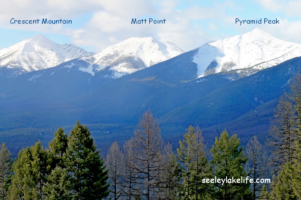
Go Outside - Seeley Lake, MT
Click on pictures to enlarge.
Crescent Mountain, Matt Point and Pyramid Peak in the Swan Range above Seeley Lake, Montana Roads?  Where we are going, we don't need any roads.  Seeley Lake Montana.  seeleylakelife.com It's here we make our stand.  In this place, immerse yourself in the love of nature. Morrell Creek outflow from the base of Morrell Falls.  Seeley Lake, Montana
Part of the Swan Mountain Range in western Montana as seen from Seeley Lake. The Mission Mountains and Seeley Lake Montana Road to the Double Arrow Lookout high above Seeley Lake, Montana