|
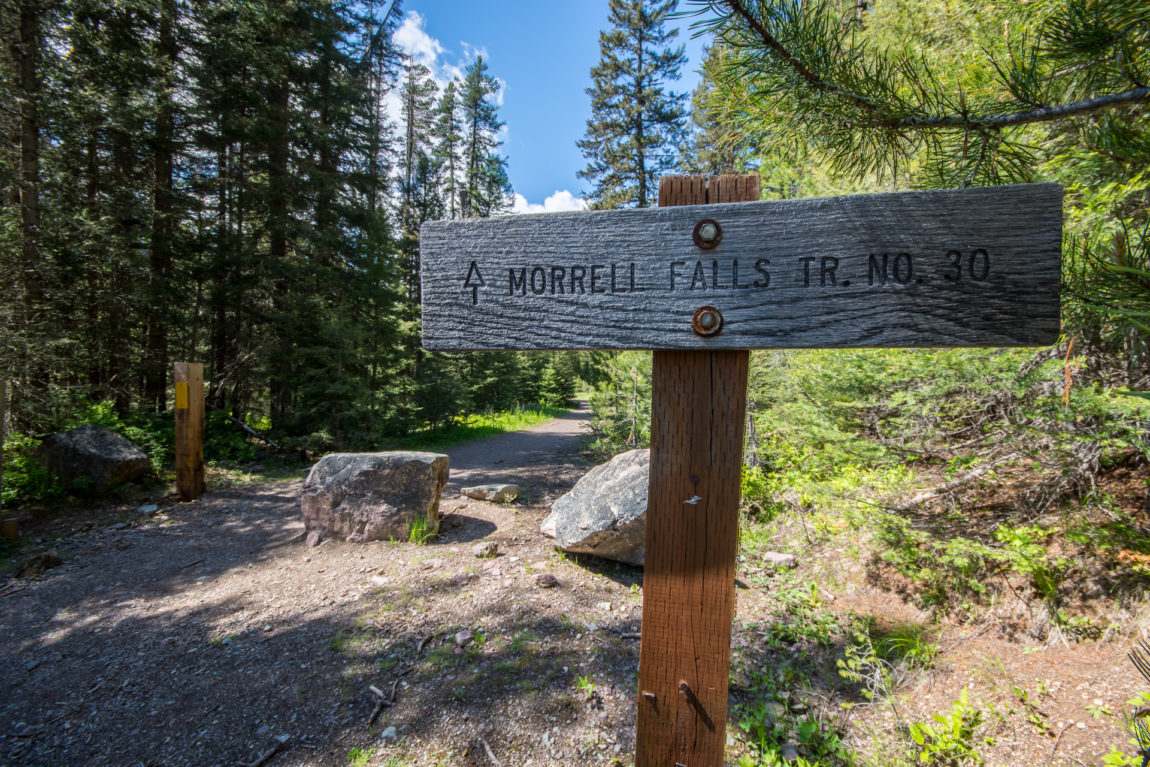
At the trailhead you will find toilets, but no developed
water source.
Overnight camping is permitted in the parking
area. The Seeley Lake Ranger District offers a free
informational handout which includes a simple map to the
Morrell Falls Trailhead.
Click images below to enlarge. |
") |
|
Stitched photo of Morrell Lake with the rock wall of
lower Crescent Mountain on the right and Matt Mountain on the left as seen
from the Morrell Falls National Recreation Trail #30
about 1/2 mile from Morrell Falls on 9/1/19.
Click images below to enlarge. |
 |
|
 |
|
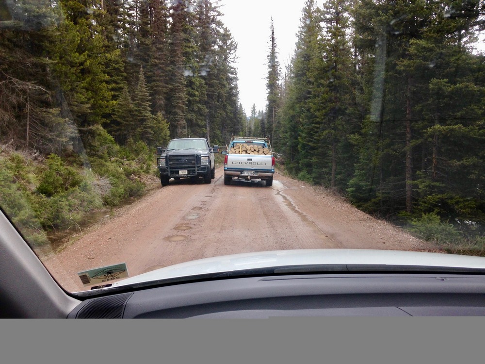
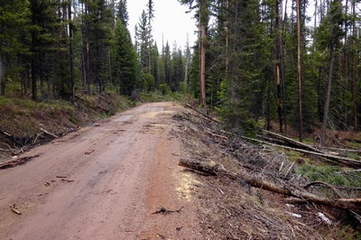
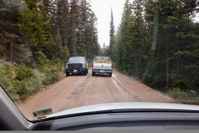
Forest
Road 4353 on May 1st, 2017. Lots of trees have been cut to clear
the way to Morrell Falls Trailhead, however the road became
impassable because of snow after driving about 4 miles. |
|
|
on May
1st, 2017, Game Warden tells private logger that this road to
Morrell Falls Trailhead becomes
impassable up ahead because of snow. |
|
|
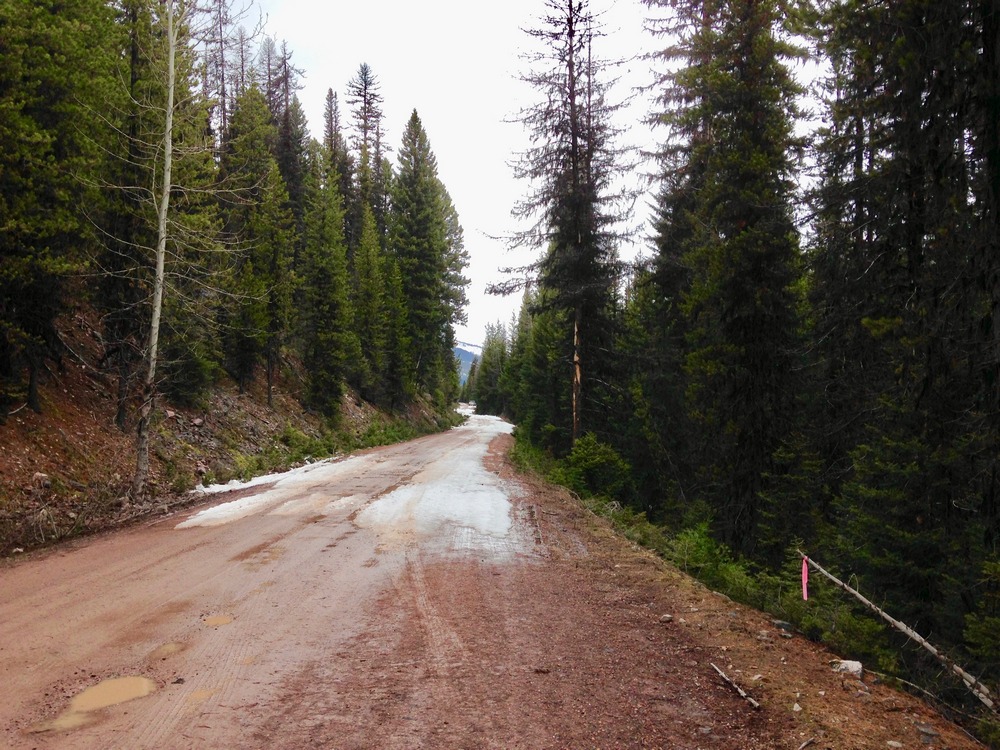
on May
1st, 2017, Forest Road 4353 to Morrell Falls Trailhead became
impassable (even to 4-wheel-drive) because of snow up ahead |
|
 |
 |
 |
|
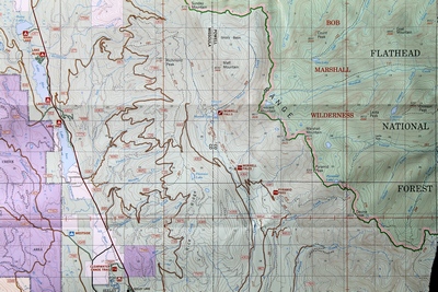
Map of the area around
Morrell Falls & the Grizzly Basin
(click to enlarge) |
|
|
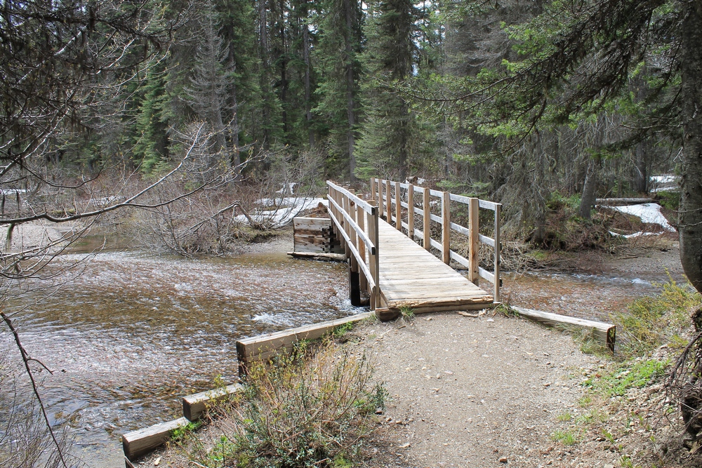
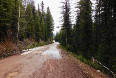
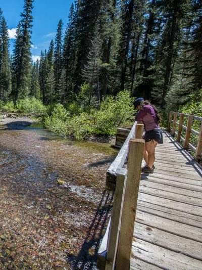
Approaching
the bridge across Morrell Creek upon returning back from Morrell
Falls. Some snow remains on the ground May 18, 2017 |
|
|
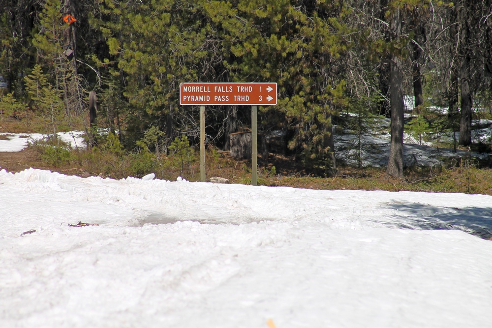
May 4th, 2017 Snow still
blocking access to Morrell Falls trailhead and Pyramid Pass
Trailhead. |
|
 |
 |
 |
|
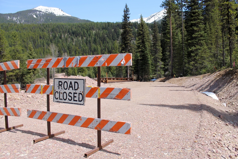
Graded
access road, FR 4381, to the new bridge up ahead which crosses
Morrell creek on the way to Morrell Falls trailhead and Pyramid
Pass trailhead as it appeared 5/11/17. The bridge and
forest have sustained heavy damage in the Rice Ridge fire.
The bridge was rebuilt and is now opened to traffic. See pics
below. |
|
|
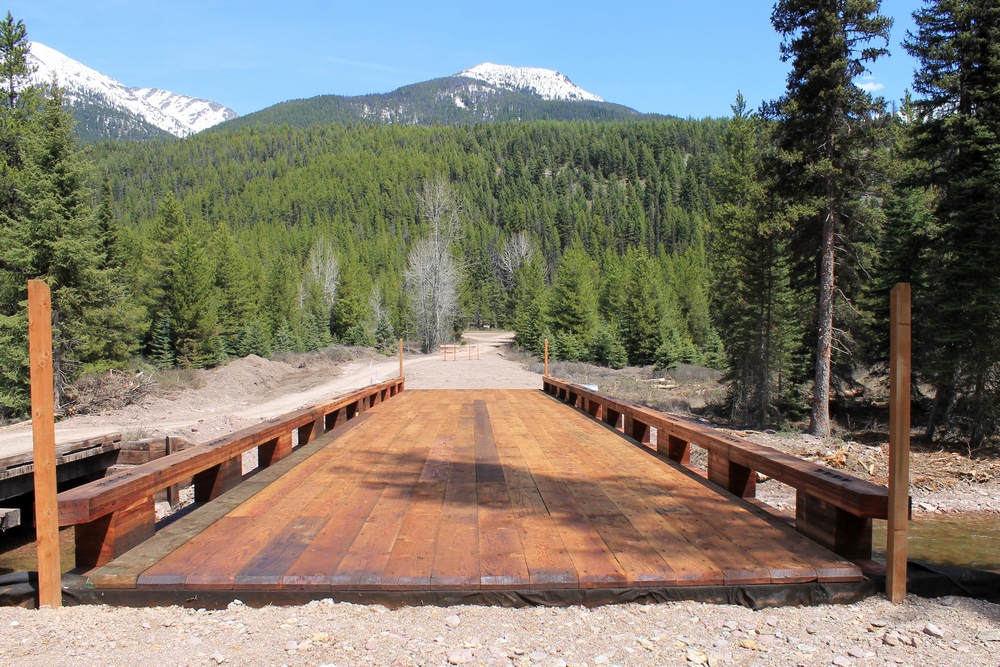
Looking east across the
new wooden bridge crossing Morrell Creek on FR 4381 on the way
to Morrell Falls trailhead and Pyramid Pass trailhead as it
appeared 5/11/17. This bridge has sustained heavy damage
in the Rice Ridge fire and was torn down but was already
replaced with an identical type. |
|
|
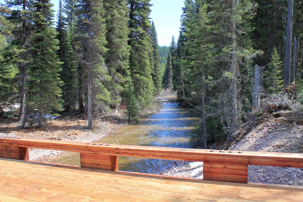
Looking south (downstream)
from the new bridge crossing Morrell Creek as it appeared on May
11, 2017. This bridge has sustained heavy damage in the Rice
Ridge fire and was torn down but was already replaced with an
identical type. |
|
 |
 |
 |
|
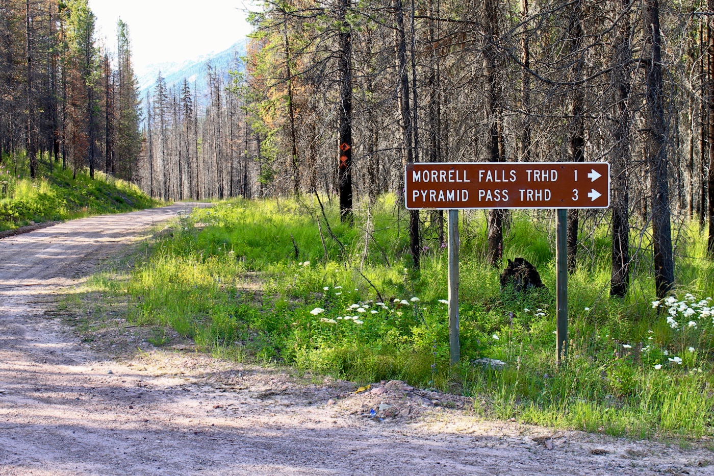
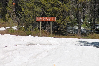
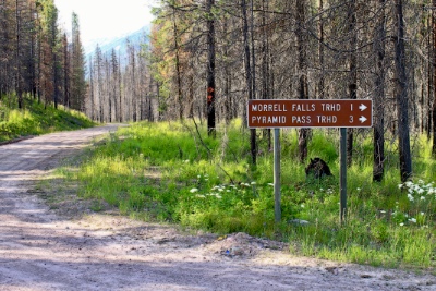
Sign at the junction of FR4353 and FR4381 near the
Morrell creek bridge. |
|
|
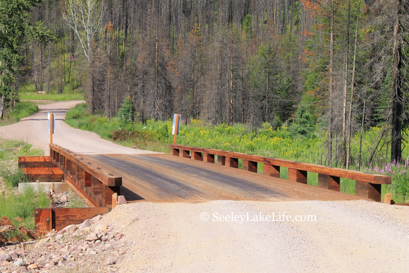
Looking west across the rebuilt wooden bridge
crossing Morrell creek north of Seeley Lake, Montana on FR 4381
near Morrell Falls trailhead and Pyramid Pass trailhead. Date:
7/16/19. This is now open to traffic. |
|
|
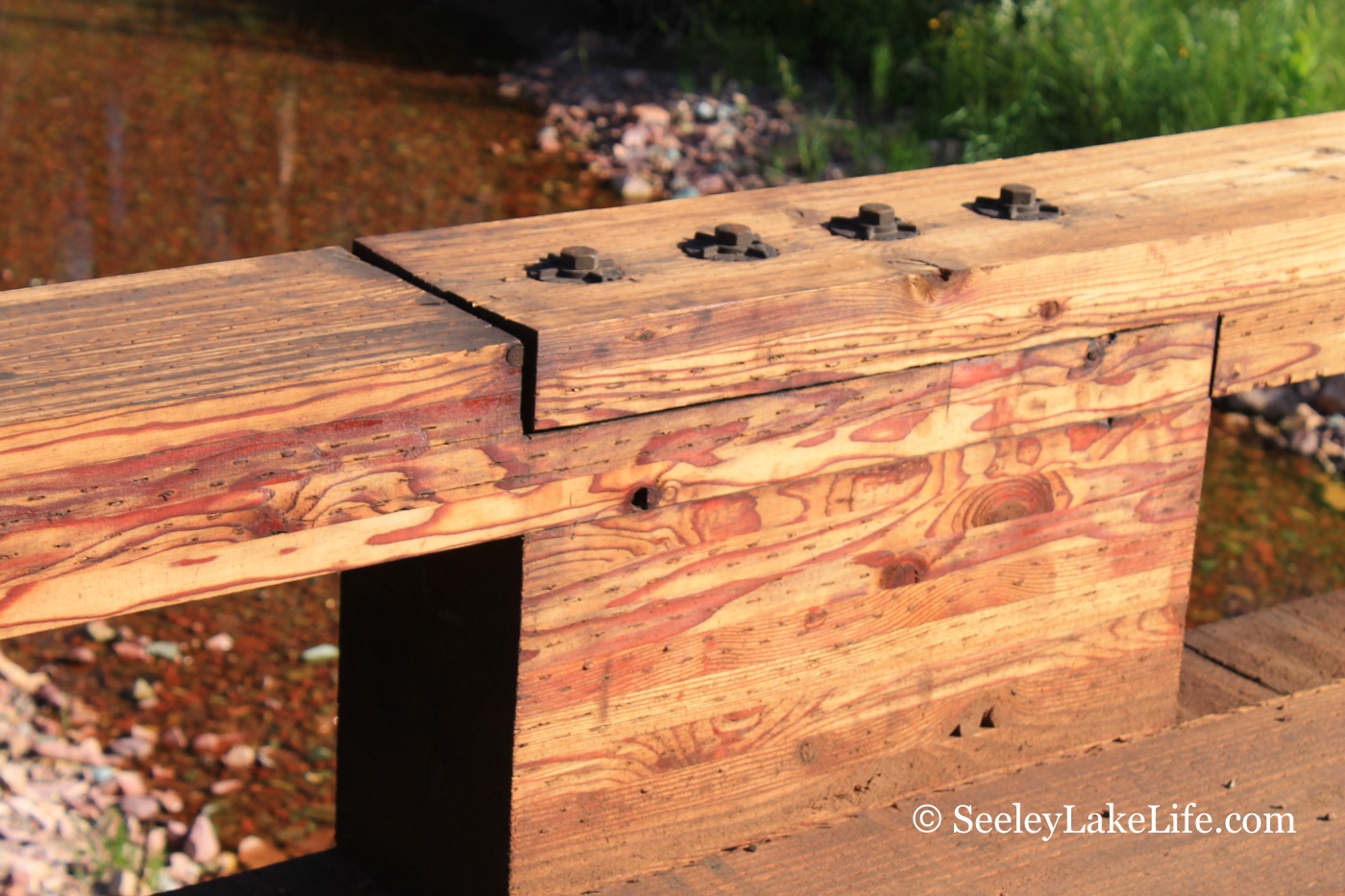
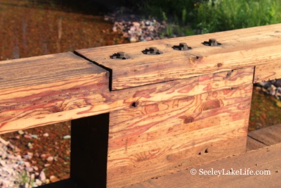
Wooden bridge support
structure on the rebuilt bridge crossing Morrell creek north of
Seeley Lake, Montana on FR 4381 near Morrell Falls trailhead and
Pyramid Pass trailhead. Date: 7/16/19. |
|
 |
 |
 |
|
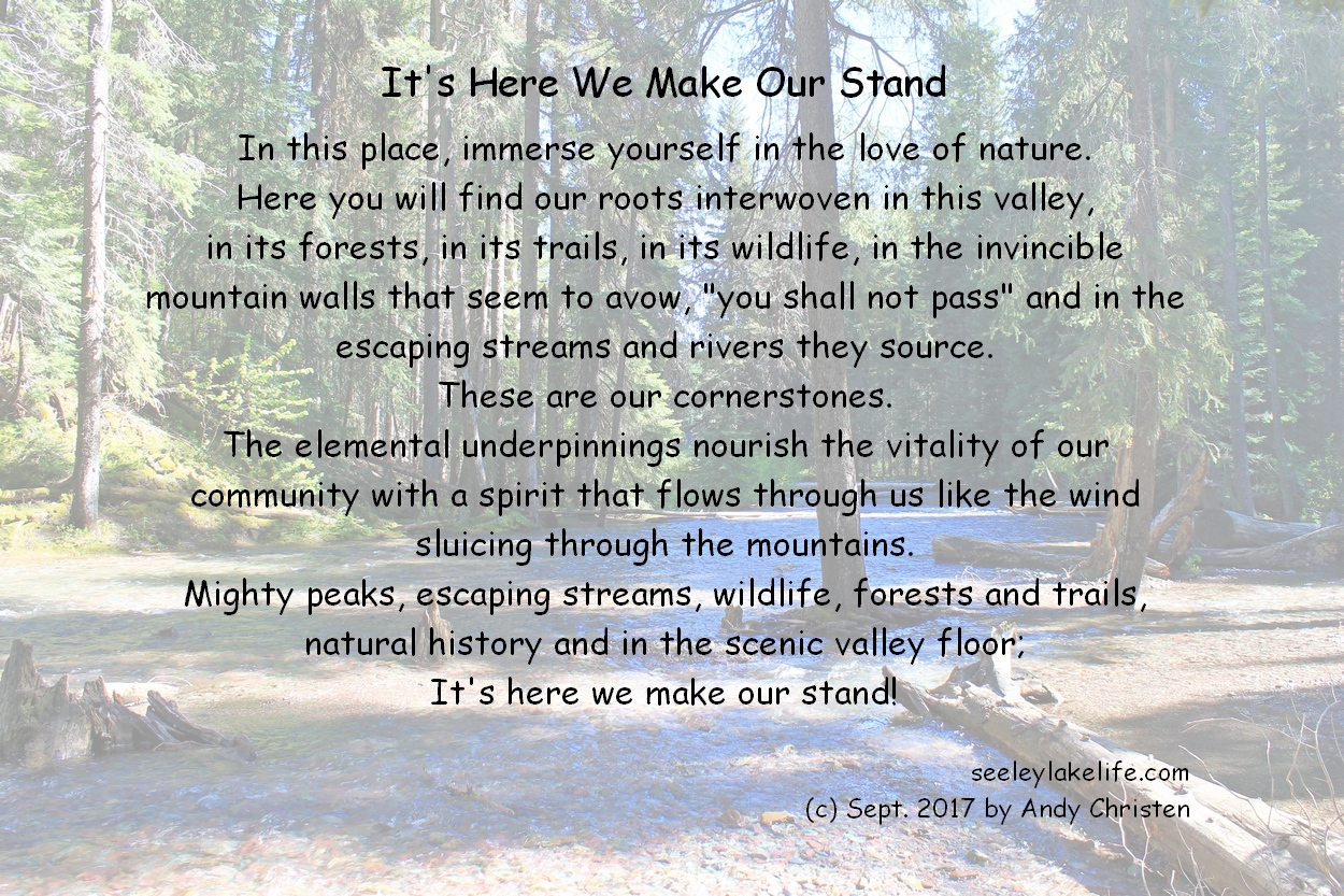
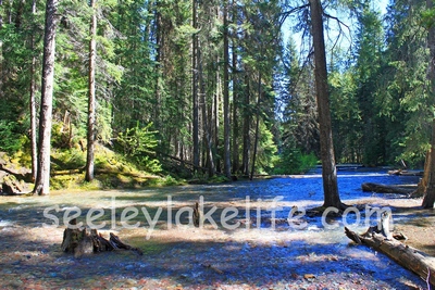
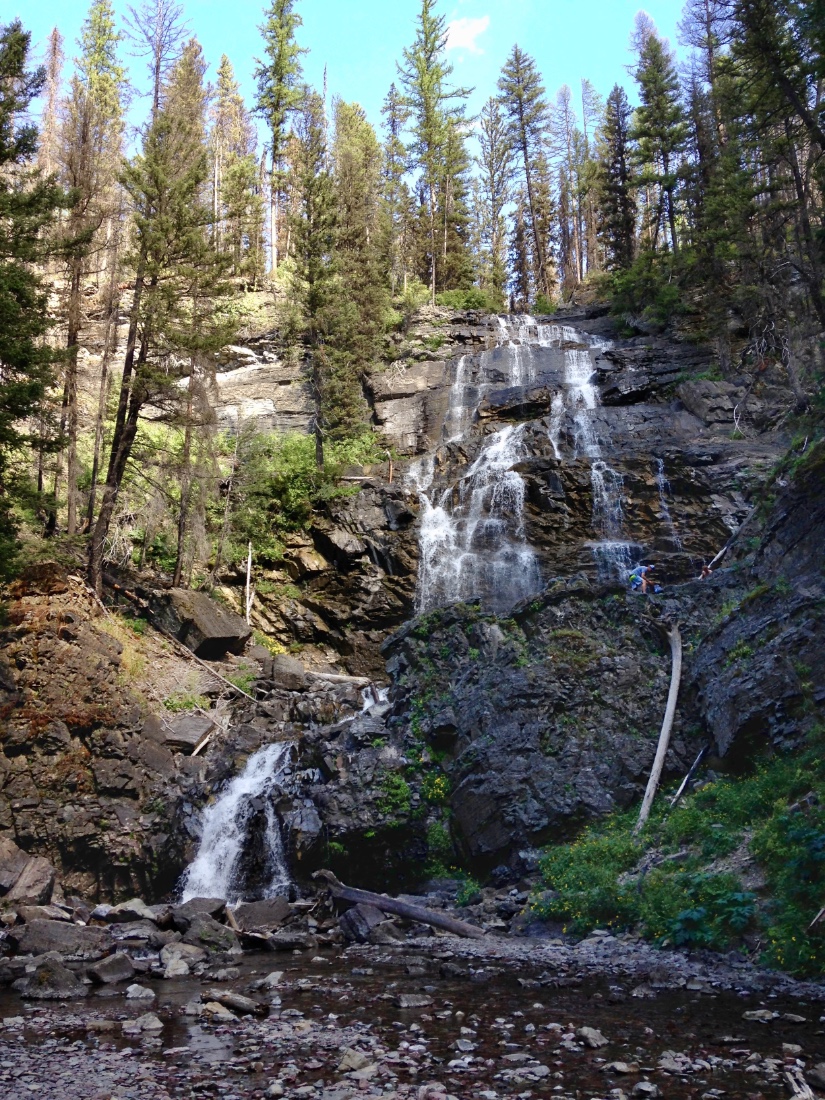
It's Here We Make Our Stand - Beautiful scene of
Morrell Creek immediately downstream of Morrell Falls |
|
|
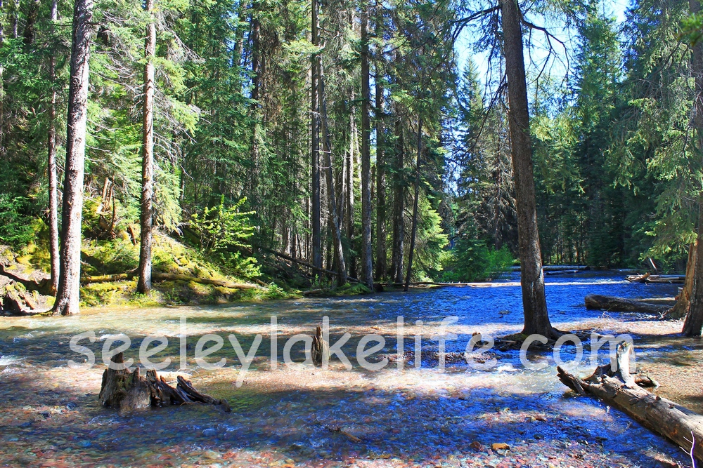
Morrell
Creek immediately downstream of Morrell Falls. |
|
|
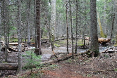
Small
streamlet of Morrell Creek coming off the base of Morrell
Falls
|
|
 |
 |
 |
|
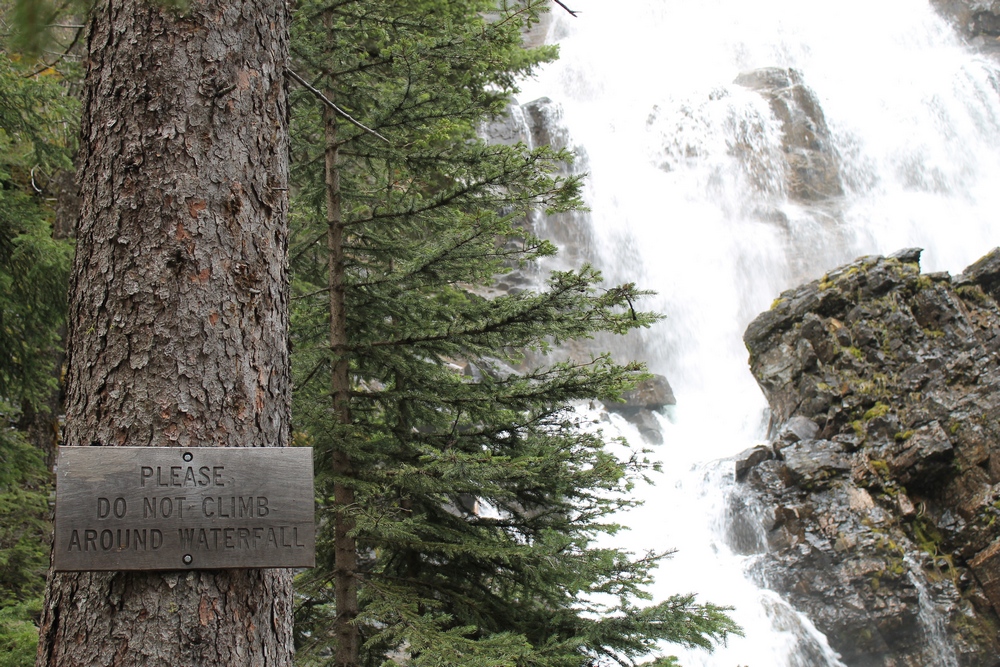
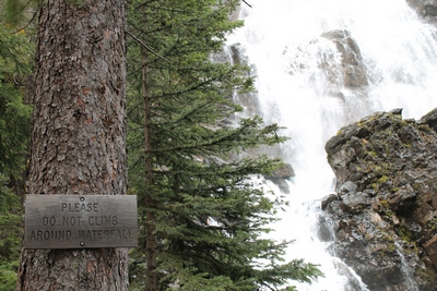
Wood sign:
Please Do Not Climb Around Waterfall. |
|
|
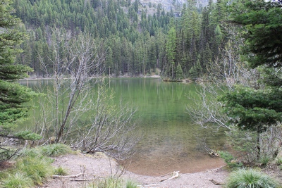
Morrell
Lake not far from Morrell Falls |
|
|
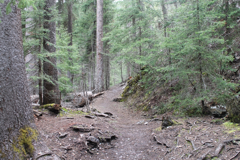
Looking
back on trails end at Morrell Falls.
|
|
 |
 |
 |
|
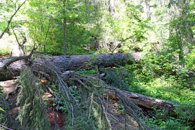
Grizzly basin trail #409 blocked by fallen
trees about 100 feet up from its beginning near the end of Morrell
Falls Trail #30.
Picture taken horizontally from eye level. This trail is about as steep as
you can get without using your hands! Be prepared! |
|
|
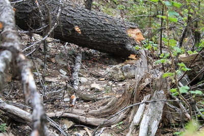
Large tree recently fell
across the start of the Grizzly Basin Trail making passage
difficult. This can be seen from the Morrell Falls
Trail near Morrell Falls. The trail is going up the
left side of the picture. This is also the trail to
the top of Morrell Falls. Photo taken on 6/11/17. |
|
|
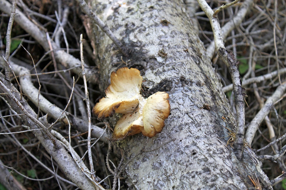
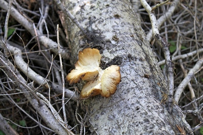
Odd mushroom growing on
a fallen tree near Morrell Falls. |
|
")